• Application

    We cooperate with local developers to provide industrial solutions for customers.

    KaliBro
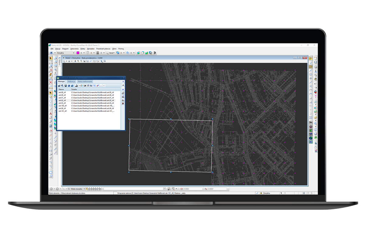
    Land survey software to georeference (calibrate) rasters in a CAD environment. KaliBro can also comfortably edit, correct and manage raster images.

    The unique manner of determining reference points drawing simple lines in CAD connecting points from a raster with target points from a drawing;


    Painting (cleaning out) a selected area;


    Inversion, cropping, merging and denoising;


    Removing marks after cropping a map frame;


    Saving georeferenced;


    Huge control over calibration and comfortable edition of adjustment points;


    Converting format of a file, compression, and colour pallet;
    1 Pages
    CP-Symbols Mechanical
    • Language
    • Polish, English, Italian, German
    • Required
    • Windows7/8/10/11
    • Size
    • 4.00kb
    • Released
    • 2023-03-12
    CP-Symbols Mechanical

    For your better experience on our website and the display of relevant information, cookies will be used. Learn More

    Accept
  • 高潮影院